Coastline Atlas Istanbul
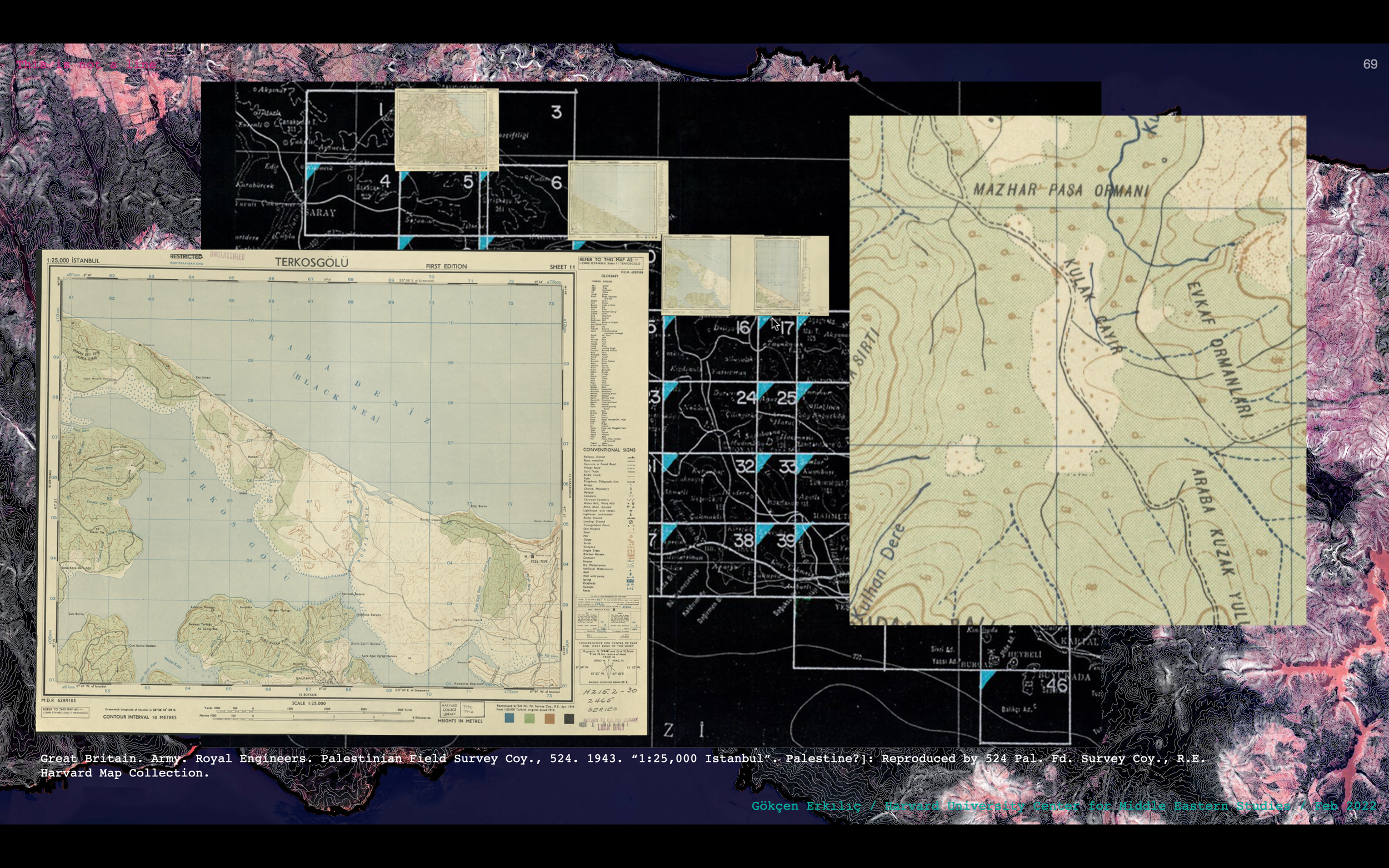
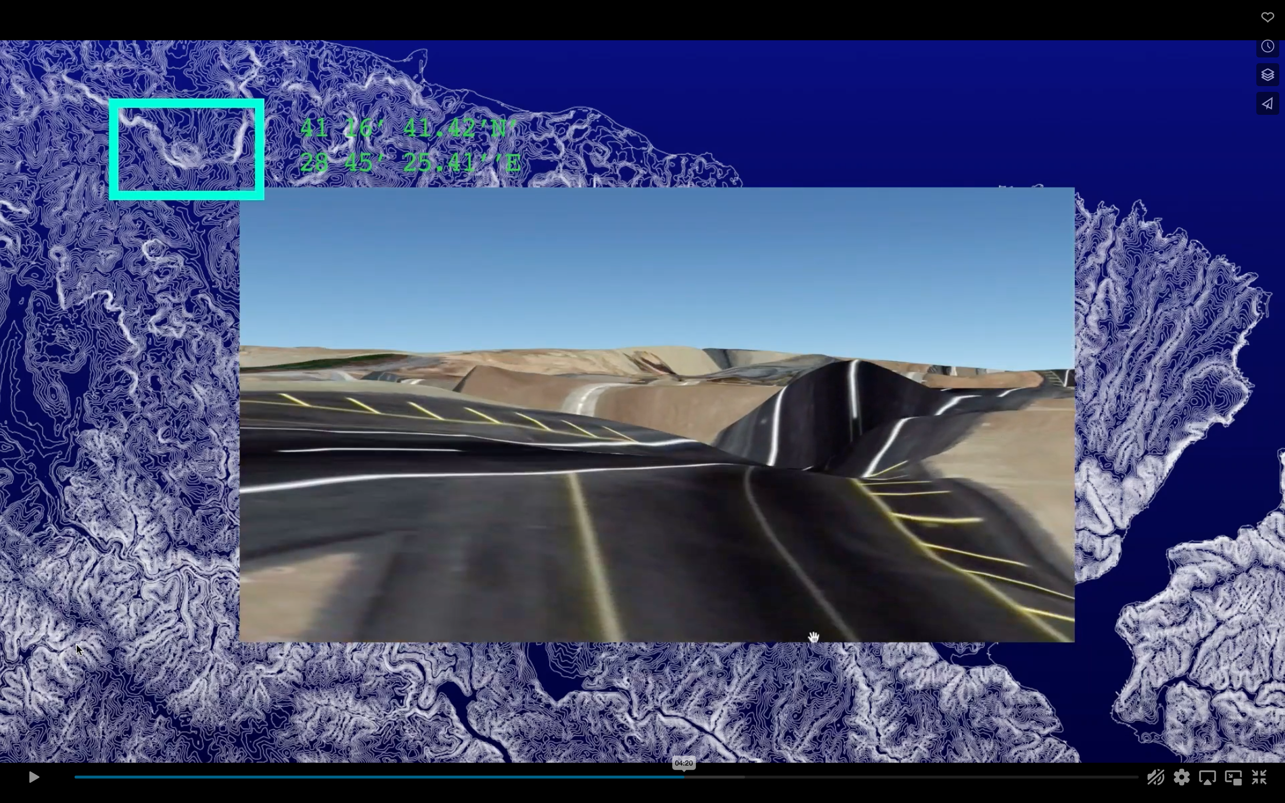
Coastline Atlas is a trans-media critical mapping project that focuses on the border conditions of bodies of water and how they shape socio-material processes of human and environment relations in urban and extra-urban settings. The lab works with a cartographic layering of aerial photographs, historic maps, news reports, video footage, field notes, interviews, and more to explore embodied map-making methods that define new roles for design toward spatial justice. It highlights agencies and political ecologies underlying the contested anthropogenic impacts on the margins of transforming landscapes. It searches for grounds of communication among actors by making maps to see and to live with and renders mapping as a practice of witnessing the transformation of contested landscapes.
The Atlas:
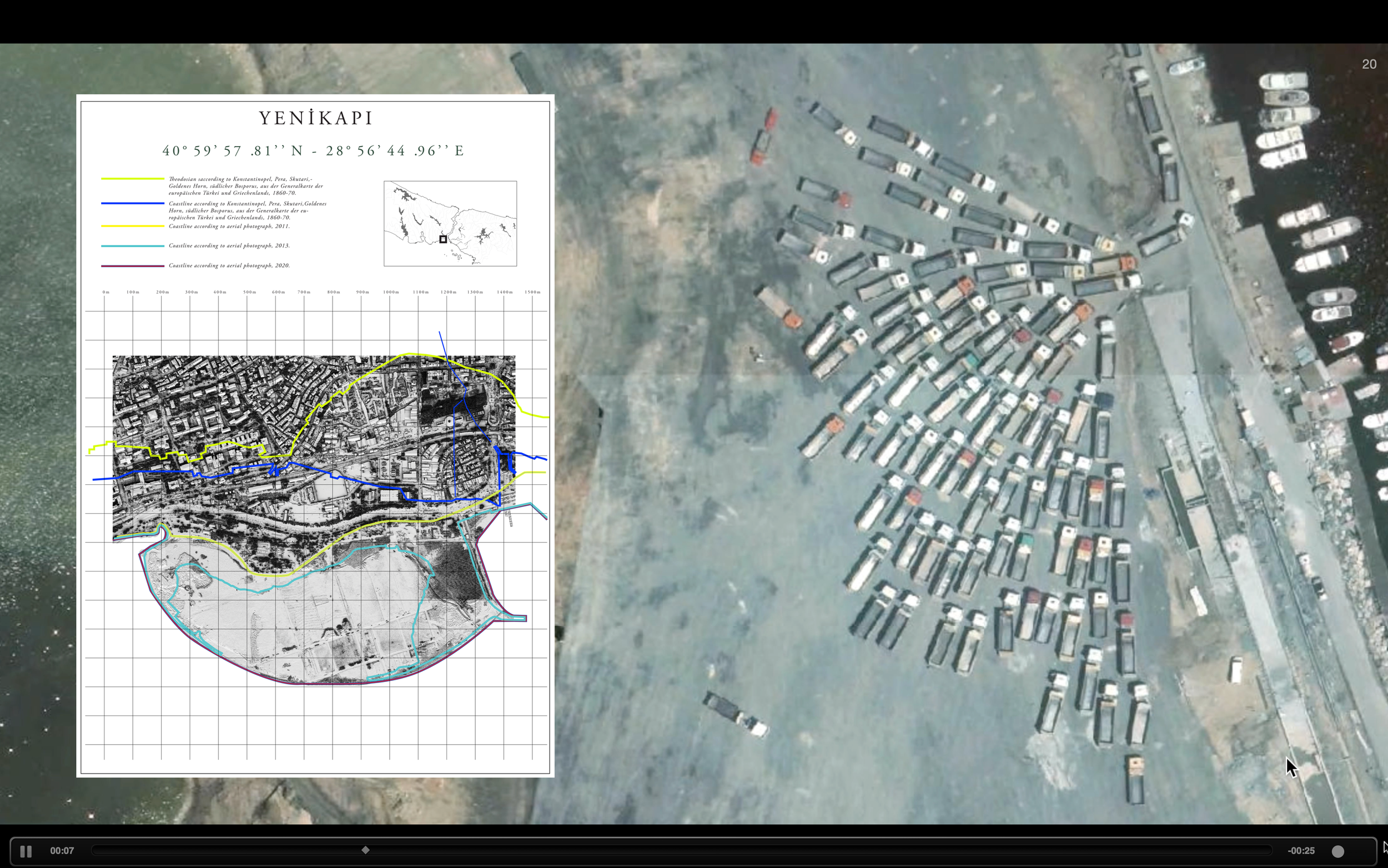
Water-bound space has played multiple agencies through urbanization processes in and around Istanbul. In the context of the climate crisis and political management problems with the environment, coastlines constitute new edge conditions for urban colonization of space. The atlas produces eco-critical narratives about processes shaping the coastline. It bears evidence in maps, charts, aerial photographs, satellite images, and news. The atlas brings together narratives narratives on the lost, reshaped, and fluctuating water–borders of the city.


